Description
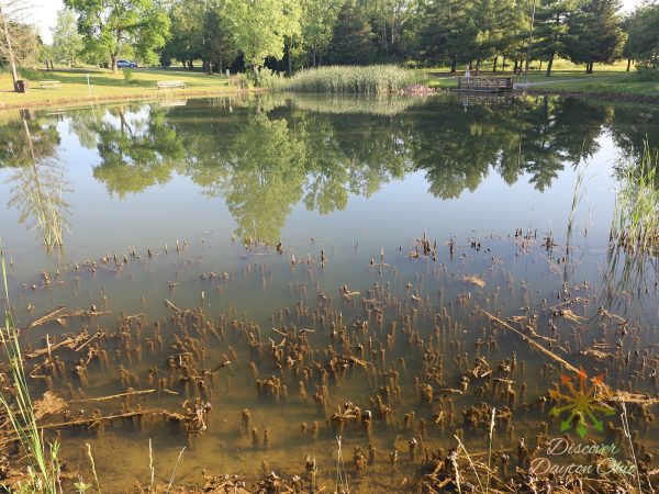
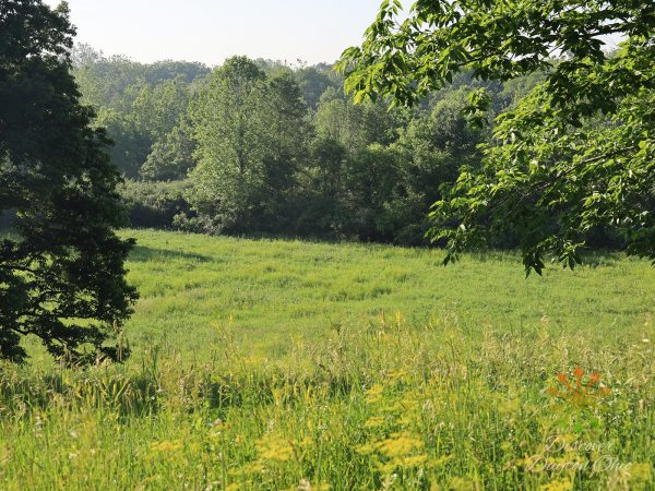
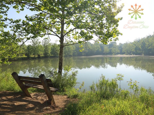
The meadows, woodlots and still waters of 2,384-acre Sycamore State Park offer an oasis of natural features in the midst of expansive farmland. Sycamore provides the perfect setting for picnicking, hiking, fishing and horseback riding.
Natural Features
Sycamore State Park lies in the vast fertile till plains of western Ohio in the Wolf Creek Valley. The original forest contained magnificent oaks, walnut, maple, ash, wild cherry and many other tree species. The forest abounded with wild turkey, deer, elk and bison. Long before any permanent settlement was made in the area, its beauty and fertility were well known in the Kentucky settlements and to the people east of the Alleghenies.
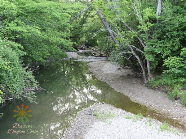
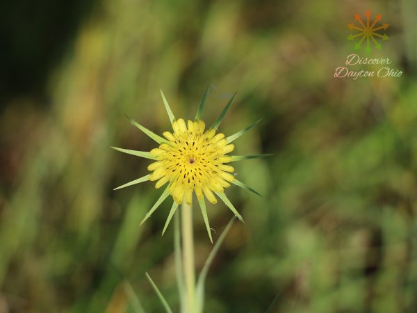
By 1880, farm production in the area was greater than anywhere else in Ohio ending the abundance of forest and game. Today, through conservation efforts, the former farmland of the park are now yielding to second-growth forests. The huge sycamore trees lining the banks of Wolf Creek give the park its name. The increasing wildlife population includes red fox, deer, woodchuck, raccoon and coyote in addition to a variety of songbirds and waterfowl. The woodlots and meadows harbor diverse colonies of wildflowers, including spring beauties, wild blue phlox, ironweed and goldenrod.
Park Sections:
Much of the park is a bit difficult to find since neither Waze nor Google Maps clearly outlines the park while driving in the vicinity with GPS. The multiple parts of the park are located off these few roads :
Providence Pike (Primary Area): Scenic Overlook, Both Lakes, Picnic Tables, Playground, Bathrooms. Connects Wold Creek to Diamond Mill Road.
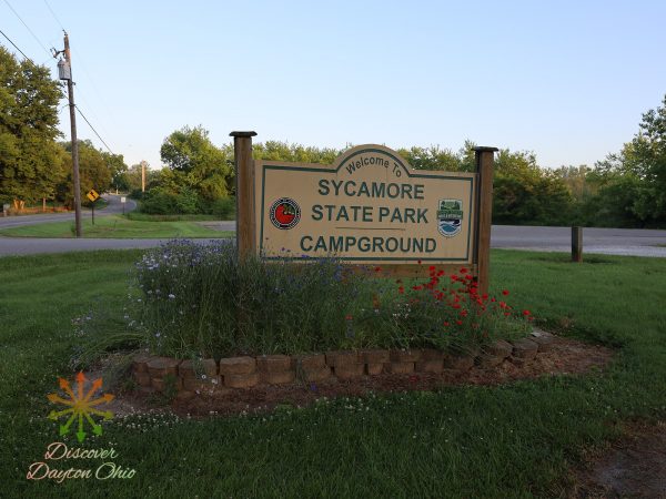
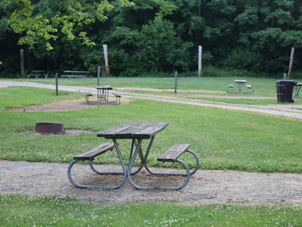
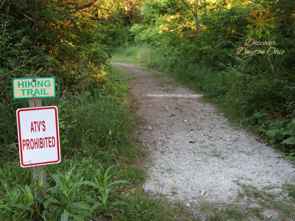
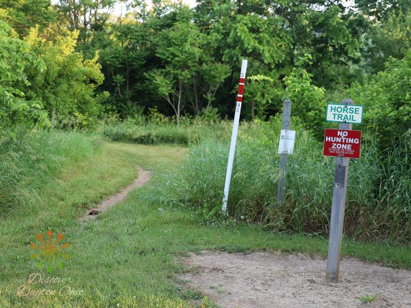
Wolf Creek (East to West): Camp and Horseback Riding Area, Trails. Good area.
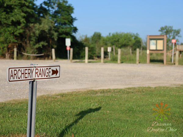
Diamond Mill Rd (North to South): Park Office (Just an old house), Archery Range
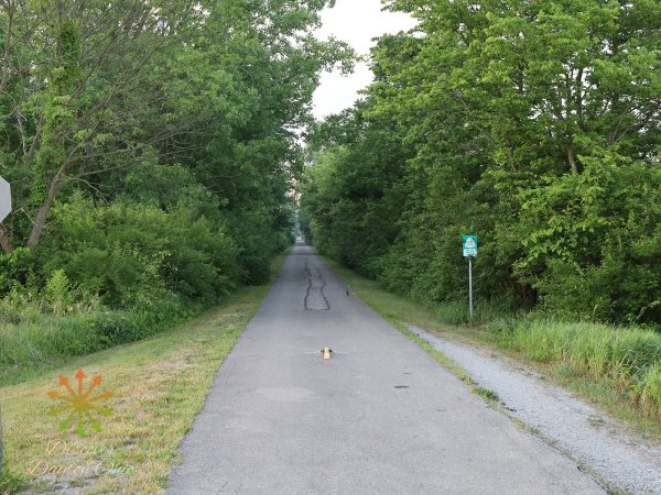
Seybold Rd (North to South): Narrow 2 lane road with a few trail access points and wolf creek.
Nolan Rd (North to South): Narrow 2 land road with a few trail access points crossing.
North Snyder (North to South): Park Group Camp (By reservation only).
Snake Road (East to West): No park areas but this road connects Diamond Dill, N.Snyder Rd and Seybold Road. Nothing is on this road but it intersects all the North to South roads and is the furthest North boundary of the park.

